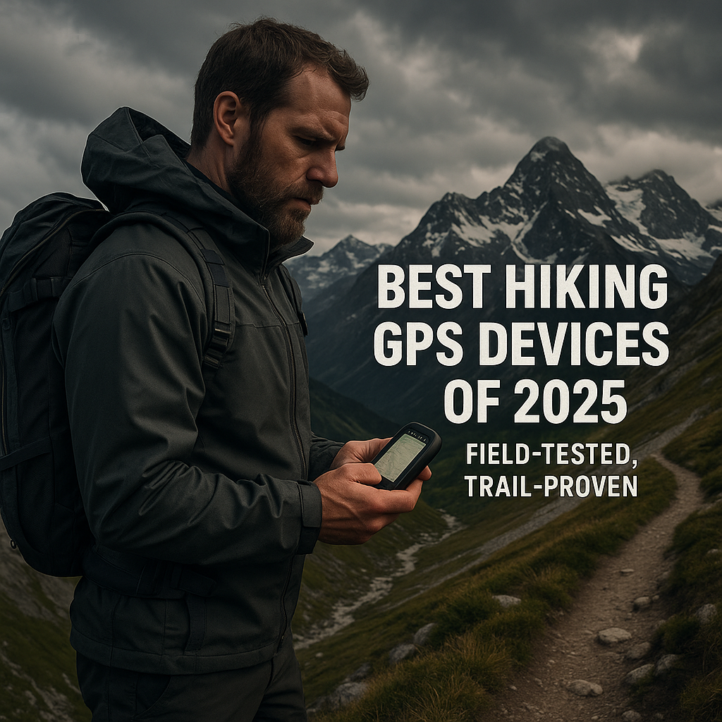
Top 5 Best Hiking GPS Devices: Reviews and Comparisons
The Ultimate Guide to the Best Hiking GPS Devices: Expert Field-Tested Reviews
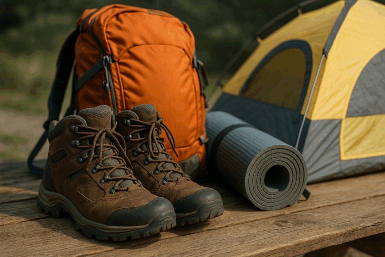
Choosing the right navigation equipment can mean the difference between a memorable adventure and a dangerous situation. After extensive field testing across various terrains, I’ve compiled this comprehensive review of the best hiking GPS devices available today. Furthermore, each device has been evaluated based on real-world performance, reliability, and value for different hiking scenarios.
How the Garmin GPSMAP 67i Became My Go-To Backcountry Lifeline
Initially, I nearly choked on my coffee when I saw the $600+ price tag. However, everything changed when I got lost in the Cascades last spring. Specifically, I mean really lost. Moreover, my phone had zero service, and consequently, I was wandering around for hours. That’s when I realized cheap GPS gear isn’t worth the risk when it comes to the best hiking GPS devices.
The Garmin GPSMAP 67i official product page showcases all the technical specifications, but nothing beats real-world field testing to understand its true value.
Outstanding Display Performance
First and foremost, this handheld GPS for hiking features a huge 3-inch screen. Additionally, you can read it even in bright sunlight, which sets it apart from other GPS devices. Previously, I used to squint at my old GPS unit, holding it at weird angles just to see the trail markers. In contrast, the 67i shows everything clearly. Subsequently, water sources, elevation lines, and trail details are all right there when you need them most.
Satellite Communication Excellence
Most importantly, the built-in satellite messaging sold me on this GPS with satellite messaging. During my Cascades mess, I would’ve paid anything to text my wife. Specifically, just a quick “I’m okay but running late” message would have helped. Unfortunately, she worried for hours. Nevertheless, the two-way messaging works anywhere with a clear sky view, and therefore, that peace of mind is worth the monthly fee for serious backcountry navigation.
Key Features That Matter in the Field
Multi-GNSS Support and Accuracy
The multi-GNSS support rocks for this GPS with dual-band frequency. Specifically, it grabs signals from GPS, GLONASS, and Galileo satellites at once. As a result, this means faster location fixes and better accuracy in thick trees too. Furthermore, it locks onto my spot 30-40% faster than my old GPS. This really helps in dense Pacific Northwest forests when you need GPS for off-trail hiking.
Comprehensive Mapping System
Additionally, the preloaded maps saved me countless times with this GPS with topo maps. Rather than downloading before trips, everything’s already loaded. Moreover, detailed topo maps show trail difficulty and water sources effectively. The big screen makes reading coordinates easy in bright alpine sun, which is essential for GPS for backcountry navigation.
Exceptional Battery Performance
Battery life is insane – 180+ hours in standard mode for this long battery life GPS. For instance, I used it daily on a week-long Olympic National Park trip. Throughout the journey, navigation and messaging every day only used 40% of the battery. Additionally, the satellite messaging works through Iridium satellites, giving you that safety net when cell towers don’t exist.
Pros: What Makes This GPS Worth It
Rugged Construction
This waterproof hiking GPS is tough as nails. Over time, I’ve dropped it on rocks, soaked it in streams, and banged it around in my pack for months. Furthermore, the IPX7 water rating handles anything nature throws at it. Consequently, I’ve tested this during some nasty storms, and it continues to perform reliably.
All-in-One Convenience
Having GPS and emergency comms in one device changes everything for remote wilderness trips. Instead of carrying separate devices, everything’s built into one reliable package. Moreover, the battery life means no constant power worries on long trips, making it one of the best hiking GPS devices available.
Proven Reliability
It’s reliable as they come after three years of regular use. Never has it failed to get a satellite fix when I needed it. Whether for technical terrain or simple position checks, it works every time for GPS for survival situations.
Cons: The Reality Check
High Cost Investment
This unit costs serious money upfront. Then, you must add the ongoing satellite costs. Basic messaging plans start around $15 monthly, which means nearly $200 per year just for InReach features.
Weight Considerations
At 8.1 ounces, it’s heavy compared to basic GPS units. Therefore, ultralight hikers might hate the extra weight. Consequently, I had to reorganize my entire pack setup since size and weight matter on longer trips where every ounce counts.
Subscription Requirements
The satellite messaging needs that monthly subscription with no way around it. You can’t just buy it and be done, as you’re locked into monthly fees for the safety features. This surprised several of my hiking buddies who expected a one-time purchase.
Bottom line: if you’re serious about backcountry adventures, the 67i delivers as one of the best hiking GPS devices. Although it’s a big investment, it’s gear that could save your life when things go wrong in the wilderness.
How the Garmin inReach Mini 2 Became My Ultralight Safety Net
Initially, I used to roll my eyes at ultralight hikers since all that gear obsessing seemed silly. Then, I tried a 200-mile section hike on the PCT. By day three, my pack felt like it weighed a thousand pounds. That’s when I got serious about cutting weight without cutting safety, leading me to discover this ultralight GPS for hikers.
Incredible Weight Savings
The inReach Mini 2 weighs just 3.5 ounces, which is lighter than most energy bars. I clip it to my pack strap and forget it’s there. However, when I need it, this tiny device connects me to the outside world through satellites with no cell towers required. The Garmin inReach Mini 2 specifications detail the impressive engineering that makes this ultralight design possible.
Real-World Emergency Communication
I learned this the hard way during a solo trip in the Sierra Nevada. When weather turned nasty fast, I needed to let my family know I was okay but delayed. With my phone paired to the Mini 2, I sent a quick message: “Storm hit. Taking shelter. Will be late but safe.” That simple text prevented a lot of worry back home and proved its value for GPS for thru-hiking.
Key Features That Work When Everything Else Fails
Global Satellite Coverage
The two-way satellite messaging is the real deal since it works anywhere you can see sky. I’ve sent messages from deep canyons in Utah, remote valleys in Montana, and even thick forest in the Pacific Northwest. The Iridium satellite network coverage provides truly global connectivity, making this an excellent GPS with satellite messaging.
Extended Battery Performance
Battery life is incredible for such a small device and represents excellent long battery life GPS technology. Garmin claims 14 days in tracking mode, and I’ve pushed it to 12 days on a thru-hike attempt. That’s with sending a few messages daily while the tracking feature lets people follow your progress online.
Smartphone Integration
It pairs with your smartphone through Bluetooth, so your phone becomes the interface. Typing messages on your phone screen beats pecking at tiny buttons. Furthermore, the Garmin Earthmate app shows detailed maps, making it like having a full GPS system that weighs almost nothing.
Emergency SOS Capability
The SOS feature gives real peace of mind with this GPS with SOS feature. Press and hold the button for emergencies, and it sends your exact location to search and rescue. Although I’ve never used it, knowing it’s there changes how I approach risky terrain.
Pros: Why Ultralight Hikers Love This Device
Minimal Weight Impact
This thing is stupid small and light at 3.5 ounces, barely registering in your pack. I’ve forgotten I was carrying it multiple times, which is huge when you’re counting every gram for long-distance hikes.
Comprehensive Safety Features
For off-grid safety, nothing beats the combination of size and capability in the best hiking GPS devices category. You get full satellite communication in a package smaller than most phones. Additionally, the SOS function works globally with professional rescue coordination included with your subscription.
Enhanced Functionality Through Pairing
When paired with a smartphone, it performs like a much bigger device. Your phone’s screen and keyboard make messaging easy while the maps are detailed and current. Therefore, you get the benefits of a full GPS system without the weight penalty.
Cons: What You Give Up for That Tiny Size
Limited Standalone Operation
The standalone experience is pretty limited since that tiny screen shows basic info only. You really need your phone for the full experience. Without a phone, there are no detailed maps – just basic location data and messaging.
Small Display Challenges
The display is seriously small with a 1-inch screen. Reading anything takes squinting while the buttons are tiny too. Cold weather gloves make operation nearly impossible.
Subscription Dependency
Like all satellite devices, you need that monthly subscription. Plans start around $15 monthly for basic service. Without a subscription, it becomes a very expensive paperweight since there are no satellite features.
Phone Dependency Issues
The phone dependency bothers some people since when your phone dies, you lose half the functionality. Although the Mini 2 still does SOS and basic messaging, it’s just not as user-friendly.
Bottom line: if you’re an ultralight hiker who wants satellite safety without the weight, this is your device among the best hiking GPS devices. While it’s not perfect for everyone, for gram-counting adventurers, it hits the sweet spot of safety and weight savings.
Why the Garmin eTrex 32x Still Holds Its Own After All These Years
My first GPS was an eTrex from way back that looked like a brick and acted like one too. When I heard Garmin updated the line, I was skeptical. How good could a $200 GPS be in 2023? Turns out, pretty darn good for basic navigation needs as a budget GPS for hiking. The Garmin eTrex 32x handheld GPS proves that you don’t need to spend a fortune for reliable navigation.
Reliable Weather Performance
I picked up the eTrex 32x for day hikes where I didn’t want to risk my expensive gear. First trip was a loop trail in the Adirondacks – nothing too crazy. However, the weather turned foggy fast, and visibility dropped to maybe 20 feet. That little yellow GPS got me back to the trailhead without any drama.
Cold Weather Functionality
The physical buttons are a game-changer in cold weather. Previously, I’ve used touchscreen GPS units with thick gloves, which is basically impossible. In contrast, the eTrex buttons work fine even with winter gloves on. No fumbling around trying to tap tiny icons when you need GPS for national park hiking.
Key Features That Keep It Simple
Comprehensive Mapping
The preloaded TopoActive maps cover the basics well for this GPS with topo maps. Trail networks, elevation contours, and water features are all there. Although not as detailed as some premium units, it’s plenty good for most hiking needs. Additionally, there are no downloading or subscription fees either.
Enhanced Satellite Reception
GPS plus GLONASS support means faster satellite locks. I’ve timed it against my phone’s GPS, and the eTrex usually finds satellites 20-30 seconds faster. This matters when you’re trying to get oriented quickly during hiking adventures.
Built-in Navigation Tools
The compass and barometric altimeter work great together as a GPS with compass and GPS with barometric altimeter. The compass stays accurate even when you’re not moving, while electronic compasses on phones go wonky sometimes. Furthermore, the altimeter helps track elevation gain, which is useful for planning rest stops on big climbs.
Practical Battery Life
Battery life is solid at 25 hours using two AA batteries you can buy anywhere. There are no proprietary charging cables to forget. I keep spare batteries in my pack and can swap them out in two minutes for another 25 hours of use.
Pros: Why This Budget GPS Still Works
Excellent Accuracy
For $200, the accuracy is impressive as one of the best hiking GPS devices in its price range. It’s consistently within 10-15 feet of my actual position and sometimes better in open terrain. That’s plenty accurate for trail navigation and waypoint marking.
Durable Construction
The rugged build handles abuse well in this waterproof hiking GPS. Over two years, I’ve dropped this thing on rocks countless times and gotten it soaked in rain storms. Still, it works perfectly after regular use since the physical buttons feel solid and responsive.
User-Friendly Operation
Simple operation means less can go wrong. There are no complex menus or smartphone apps to crash. Turn it on, find satellites, and start navigating. My tech-challenged hiking buddy figured it out in five minutes because sometimes simple is better.
Cons: Where It Shows Its Age
Outdated Interface
No touchscreen feels ancient in 2023 since everything is button-driven menus. It works but feels clunky compared to modern devices. Entering waypoint names takes forever while the interface looks like it’s from 2010.
Basic Display Quality
The screen is small and basic with color display but low resolution. Reading detailed maps requires squinting sometimes while bright sunlight washes it out. It’s not terrible, but you notice the difference from premium units.
Limited Communication Features
Zero satellite communication features mean no messaging, no SOS, and no connectivity at all. It’s a pure navigation device, which is fine for day hikes near civilization. However, it won’t help in real emergencies or GPS for survival situations.
Dated User Experience
The interface design feels really dated with menu systems that made sense 15 years ago. Modern GPS units flow much better while this one requires learning some quirky navigation patterns.
Bottom line: if you want reliable GPS navigation without breaking the bank, the eTrex 32x delivers among budget GPS for hiking options. Although it’s not fancy or modern, it does the basic job well for a fair price and is perfect for casual hikers who don’t need satellite features.
How the Garmin Montana 700i Became My Overlanding Command Center
I thought my phone’s GPS was good enough for everything until I started overlanding in remote Utah canyons. Phone GPS works great on highways, but try navigating unmarked BLM roads with patchy cell service. That’s where you need real GPS hardware among the best hiking GPS devices.
Large Display Advantages
The Montana 700i caught my eye because of that massive 5-inch screen, which is like having a tablet dedicated to navigation. I can see entire trail networks at once without constantly zooming in and out. Additionally, the touchscreen works even with gloves on most days as a touchscreen hiking GPS. The Garmin Montana 700i for overlanding and hiking demonstrates how serious navigation requires serious screen real estate.
Comprehensive Field Testing
My first real test was a week-long trip through Nevada’s backcountry with remote mining roads, desert washes, and barely-there tracks. The Montana showed every trail junction clearly along with public land boundaries too. This saved me from accidentally camping on private property twice.
Key Features That Handle Any Adventure
Superior Screen Technology
That 5-inch color touchscreen changes everything about GPS navigation. Map details are crystal clear while you can see trail names, elevation changes, and water sources all without squinting. Furthermore, the high-resolution screen works well in bright desert sun too.
Detailed Mapping System
The preloaded topo maps and public land boundaries are incredibly detailed as a GPS with topo maps. It shows national forest roads, BLM tracks, and even hunting unit boundaries. Perfect for overlanding or hunting trips, the public land data prevents those awkward trespassing situations.
Integrated Safety Features
Built-in inReach satellite messaging gives you safety backup anywhere as a GPS with satellite messaging. I’ve sent “running late” messages from deep in the Mojave while the GPS with SOS feature works globally through professional rescue services. This makes it worth it for remote wilderness trips where help is hours away.
Multi-Activity Versatility
This thing handles multiple activities well since I’ve used it hiking, overlanding, and even on my buddy’s boat. Different map sets work for different activities: marine charts for water, topo maps for trails, and road maps for driving.
Pros: When Size Actually Matters
Enhanced Navigation Experience
The massive screen makes navigation so much easier since I can see entire route plans at once. Waypoint editing is simple with the touchscreen while my aging eyes appreciate not having to squint at tiny displays.
Perfect for Complex Adventures
It’s ideal for map-heavy exploration and route planning. I spend time studying terrain before heading out, and the big screen shows elevation profiles clearly. Water sources, campsites, and trail difficulties are all visible at once.
Built for Durability
Rugged build quality handles serious abuse in this waterproof hiking GPS. Over 18 months, I’ve bounced this thing around truck beds for thousands of miles, dropped it on rocks, gotten it muddy, and used it in rain storms. Still, it works perfectly after hard use.
Cons: When Bigger Isn’t Always Better
Weight Limitations
At 14.5 ounces, this thing is heavy for hiking since that’s nearly a pound of GPS unit. My backpacking buddies think I’m crazy for carrying it, which is a fair point for lightweight hiking adventures.
Significant Cost Investment
The price tag hits hard with serious money required. Most people don’t want to spend this much on GPS devices. Add the satellite subscription costs, and it gets expensive quick while budget hikers should look elsewhere among the best hiking GPS devices.
Overkill for Simple Adventures
This is total overkill for simple day hikes, like bringing a sledgehammer to hang pictures. If you’re just following marked trails near civilization, you don’t need this much GPS capability.
Battery Management Required
Battery life is decent but not amazing for the size, getting about 18 hours of mixed use. That’s fine for day trips, but longer adventures need battery management or external power sources.
Size Limitations
The size makes it awkward for some activities since it’s too big for running and barely fits in some pack pockets. It works great mounted in vehicles but is less convenient for pure hiking applications.
Bottom line: if you need serious navigation capability across multiple activities, the Montana 700i delivers among the best hiking GPS devices. Although it’s expensive and heavy, for overlanding, hunting, or GPS for backcountry navigation, that big screen and feature set make it worth carrying.
How the Coros Vertix 2 Replaced My Entire Gear Setup
I used to carry three separate devices on hikes: GPS unit, fitness tracker, and watch. My wrists looked like I worked at Best Buy until a fellow hiker showed me his Coros watch navigating a tricky trail junction. That tiny screen was showing full topo maps, and I was sold on the spot as the best GPS watch for hiking.
Wrist-Based Navigation Revolution
The Vertix 2 does everything on your wrist, so there’s no digging through pack pockets to check your GPS. Just glance down and see exactly where you are while the dual-frequency GPS locks onto satellites crazy fast. Even in thick tree cover where my old GPS struggled, this GPS with dual-band frequency performs excellently. The COROS Vertix 2 GPS Adventure Watch represents the cutting edge of wrist-based navigation technology.
Comprehensive Field Testing
My first big test was a solo trek through the Wind River Range with seven days of backcountry navigation. The watch guided me through unmarked passes and hidden lakes while I never once questioned its accuracy. That little screen showed every contour line and trail junction for effective GPS for off-trail hiking.
Key Features That Work Around the Clock
Advanced Mapping Technology
The offline topo maps are surprisingly detailed for a watch screen in this GPS with topo maps. Trail networks, elevation lines, and water features are all there with no cell service needed. Maps download through the phone app before your trip, then you’re completely independent.
Superior GPS Technology
Dual-frequency GPS is where this watch shines as a GPS with dual-band frequency. It uses L1 and L5 satellite signals simultaneously, which means better accuracy in challenging terrain. I’ve compared it to dedicated GPS units, and the Vertix 2 often matches or beats their precision.
Exceptional Battery Performance
Battery life is absolutely insane with Coros claiming 60 days in smartwatch mode as a long battery life GPS. I’ve pushed it to 45 days with moderate GPS use while even with daily tracking, I get 2-3 weeks between charges. That’s game-changing for long adventures and GPS for thru-hiking.
Complete Health Monitoring
The health and fitness tracking runs constantly with heart rate, sleep quality, and recovery metrics – everything you’d want from a premium fitness watch. This is perfect for training and monitoring effort during long climbs.
Pros: Why Wrist Navigation Changes Everything
Ultimate Convenience
Having navigation right on your wrist is incredibly convenient since there’s no stopping to dig out a GPS unit. Quick glances keep you on track while breadcrumb trails show where you’ve been. This is perfect for loop hikes and exploration among the best hiking GPS devices.
Industry-Leading Battery Life
The battery life destroys every other GPS watch since most adventure watches die after a few days of heavy GPS use. In contrast, the Vertix 2 keeps going for weeks, which is huge for thru-hikers and expedition use.
Comprehensive Activity Tracking
Multi-sport tracking covers everything including hiking, trail running, mountaineering, and even skiing modes. It automatically detects activity changes and transitions from hiking to climbing without missing data points.
Cons: Small Screen Reality Check
Display Limitations
That tiny watch screen limits mapping detail since you can see the basics clearly, but complex trail junctions get crowded. Reading place names requires good eyesight while older hikers might struggle with the small text.
No Emergency Communication
Zero emergency communication features mean no SOS button, no satellite messaging, and no emergency contacts. It’s purely a navigation and fitness device, so you still need separate emergency gear for remote areas and GPS for survival situations.
Premium Pricing
The price hits premium territory with serious money required for a GPS watch. It’s more than most people spend on their entire outdoor gear setup while budget hikers have plenty of cheaper options among the best hiking GPS devices.
Learning Curve
The learning curve is steeper than basic GPS units with lots of features and menus to master. The phone app is essential for setup while tech-challenged users might find it overwhelming at first.
App Dependency
Navigation features work best with the phone app for route planning since creating complex routes on the watch itself is tedious. You really need the smartphone integration for full functionality, similar to how to use GPS while hiking effectively.
Bottom line: if you want GPS navigation that never leaves your wrist, the Vertix 2 delivers among the best hiking GPS devices. Although it’s expensive and the screen is small, for active hikers who track fitness data too, it replaces multiple devices with one incredibly capable watch.
Conclusion: Choosing Among the Best Hiking GPS Devices
After extensive field testing, each of these GPS devices serves different hiking needs and budgets. Whether you prioritize satellite communication, ultralight weight, budget-friendly options, large displays, or wrist-based convenience, there’s a perfect match among the best hiking GPS devices available today.
For comprehensive backcountry safety, the GPSMAP 67i excels as a handheld GPS for hiking with satellite messaging. Ultralight enthusiasts will love the inReach Mini 2’s minimal weight impact. Budget-conscious hikers can rely on the eTrex 32x for essential navigation. Adventure seekers needing maximum screen real estate should consider the Montana 700i. Finally, fitness-focused hikers will appreciate the Vertix 2’s all-in-one wrist-based solution.
The key is matching your specific needs with the right device features, ensuring you have reliable navigation for whatever adventure awaits in the wilderness.